Pictures from Okinawa on June 2016
I want to dive into the water, but it's about 30 meters high... Don't make wrong choice...
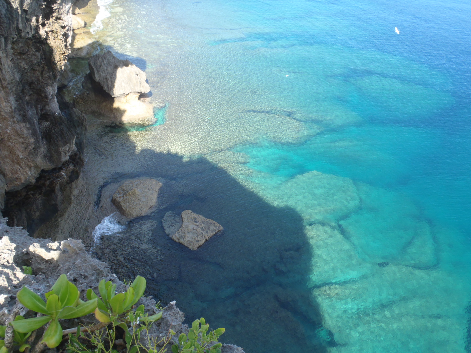
This is at Yomitan Village, cape Zanpa.

Another view of cape Zanpa.

Farmers are working at their farms. These farms are surrounded by Kadena air base & Oil storage U.S. army base.

Kadena Air Base has been leaking several different kinds of pollutant in to soil & river.
Don't you think foods are also contaminated ? I know many people evacuated from Fukushima area. However, I founded out that Okinawa is so contaminated by U.S. military presence.

This farm is completely inside of the U.S. base. Farmers has a permission ID to go into a gate.
The land is owned by farmers but Japanese government forcibly rent the land from farmers and give to U.S. military for free.
These farms can be taken away whenever U.S. military needs to use the land.

Concrete roof top is a Okinawan tomb. Over 71 years family members cannot visit any time.

Satellite communication of U.S. military. It's absolutely important for U.S. These ball shaped Satellites are all around world in U.S. bases.

This road is route 58. The biggest National road in Okinawa. For some parts, both side are fenced.

Those red polls are for U.S. military aircraft to land. Just next to route 58.

At Chatan town. Kinder garden's kids walking in a park. I don't know that Kinder garden is in a base or outside of base.

Famous picture of Futenma Air Base at Ginowan city. It's a right middle of city. Picture is from Kakazu hill.

19th June, 65000 people were gathered at Naha to commemorate Rina Shimabukuro and also protest and demand to withdraw all U.S. Marine corps from Okinawa.


Comments
Post a Comment